Camera-Trap Grids Map the Midnight Corridors of Corbett
Non-invasive telemetry reveals nocturnal movements in the Ramganga River Basin
"Using passive infrared motion sensors and non-invasive hair-snag DNA stations, we mapped 110 square kilometers of primary sal forest territory without disturbing a single leaf."
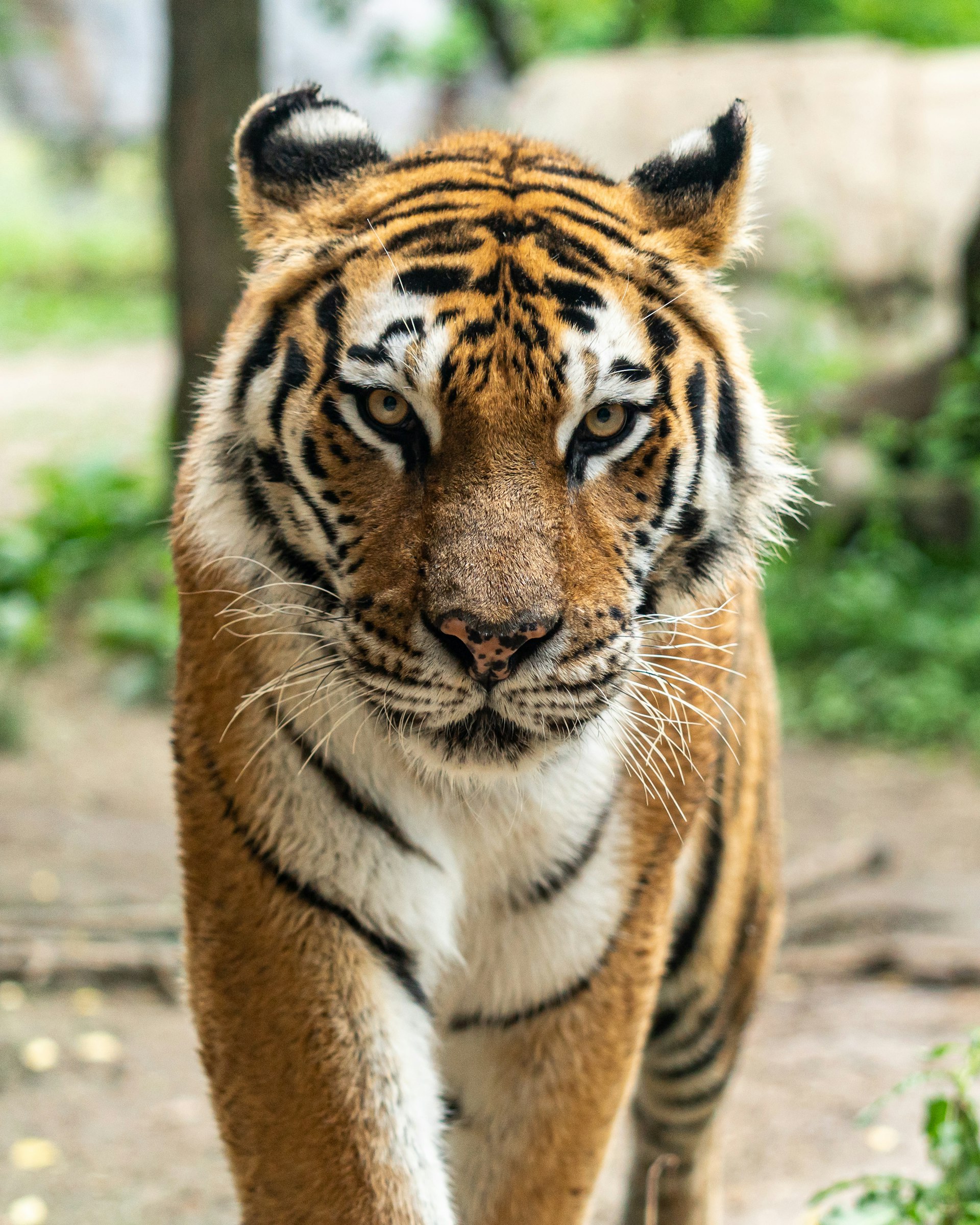
The adult male Royal Bengal Tiger cataloged as "T-42" has held the southern bank of the Ramganga River since early 2022. Weighing an estimated 240 kilograms, his paw prints (pugmarks) are instantly recognizable to local Van Gujjar trackers by a distinctive lateral notch on the left hind pad.
For eight months, our expedition operated strictly through non-invasive monitoring tools. We deployed a grid of sixty twin camera-traps paired with scent-post rub stations along natural ridgelines and dry streambeds (nullahs). Each photographic capture is automatically cross-referenced against India's national stripe-pattern recognition database.
The resulting spatial data reveals a sophisticated patrol schedule. T-42 walks an average of twenty-two kilometers every night, tracing the boundary between dense Shorea robusta (sal) woodlands and open chaurs (savanna grasslands). His patrol peaks between 01:00 and 04:30 hours, carefully avoiding daytime human patrol paths.
Critically, his home range spans across two state territorial divisions. His persistence confirms that continuous canopy cover between Corbett and Rajaji National Parks is functioning as a viable breeding corridor for northern India's tiger population.